- Circular walk: 5.18 miles
- what3words address for parking: ///finely.punk.emeralds
- GPX File
The what3words address takes you to a small parking space at Isbister. There’s enough room for three of four vehicles, but this is a working croft and so do not block the access to the gate.
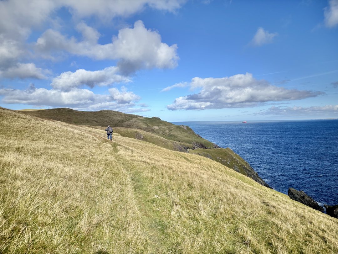
This is a terrific walk along the coast and we were lucky to have (mostly) blue skies and good weather.
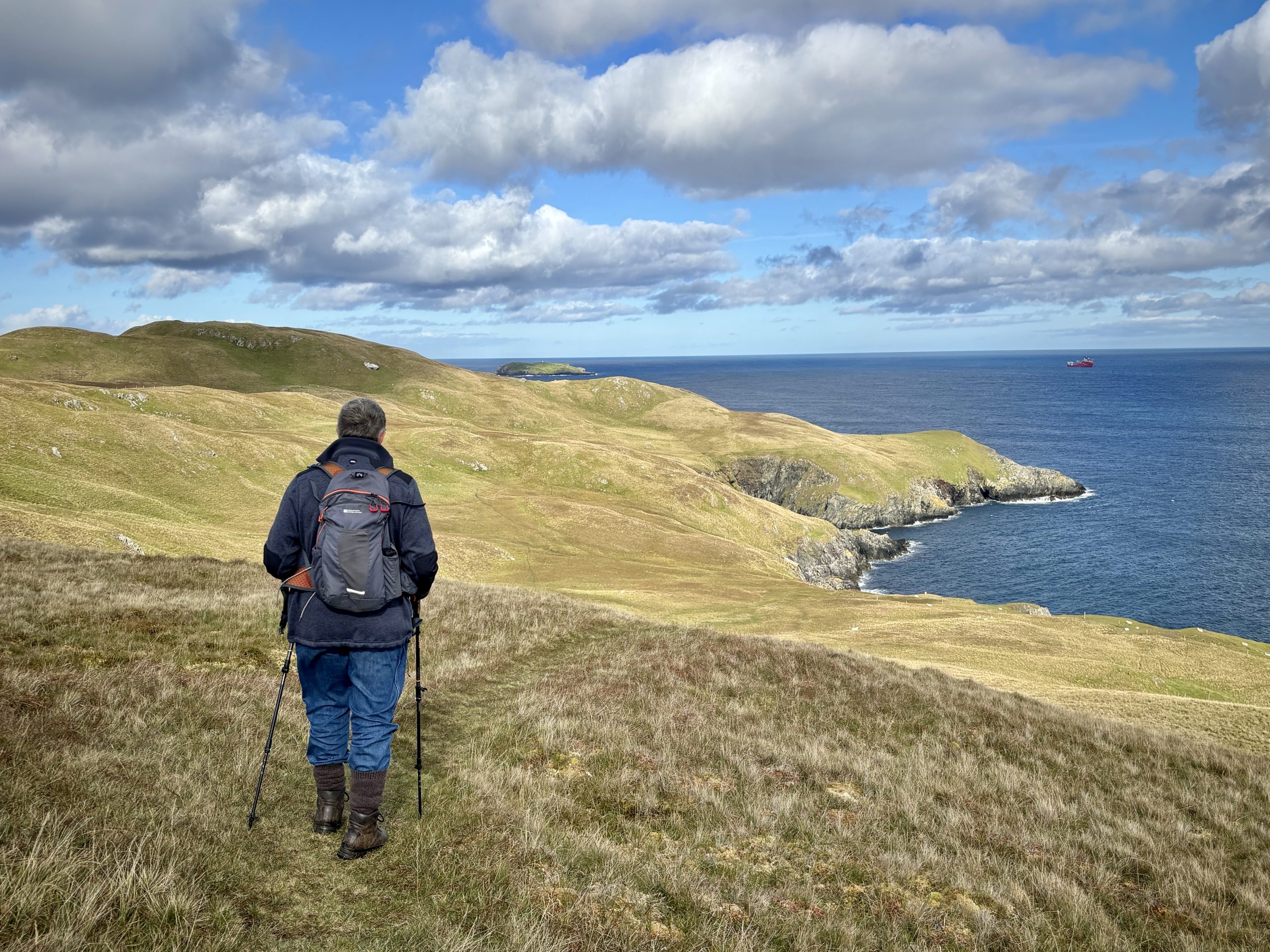
From the car parking area go through the gate and turn right past the outbuilding towards the cemetery. Shortly after the cemetery bear right towards the Loch of Houllsquey and follow a feint track east, parallel to the loch and past a ruined building, and then along the coast northwards. There are great views along this section of coast.
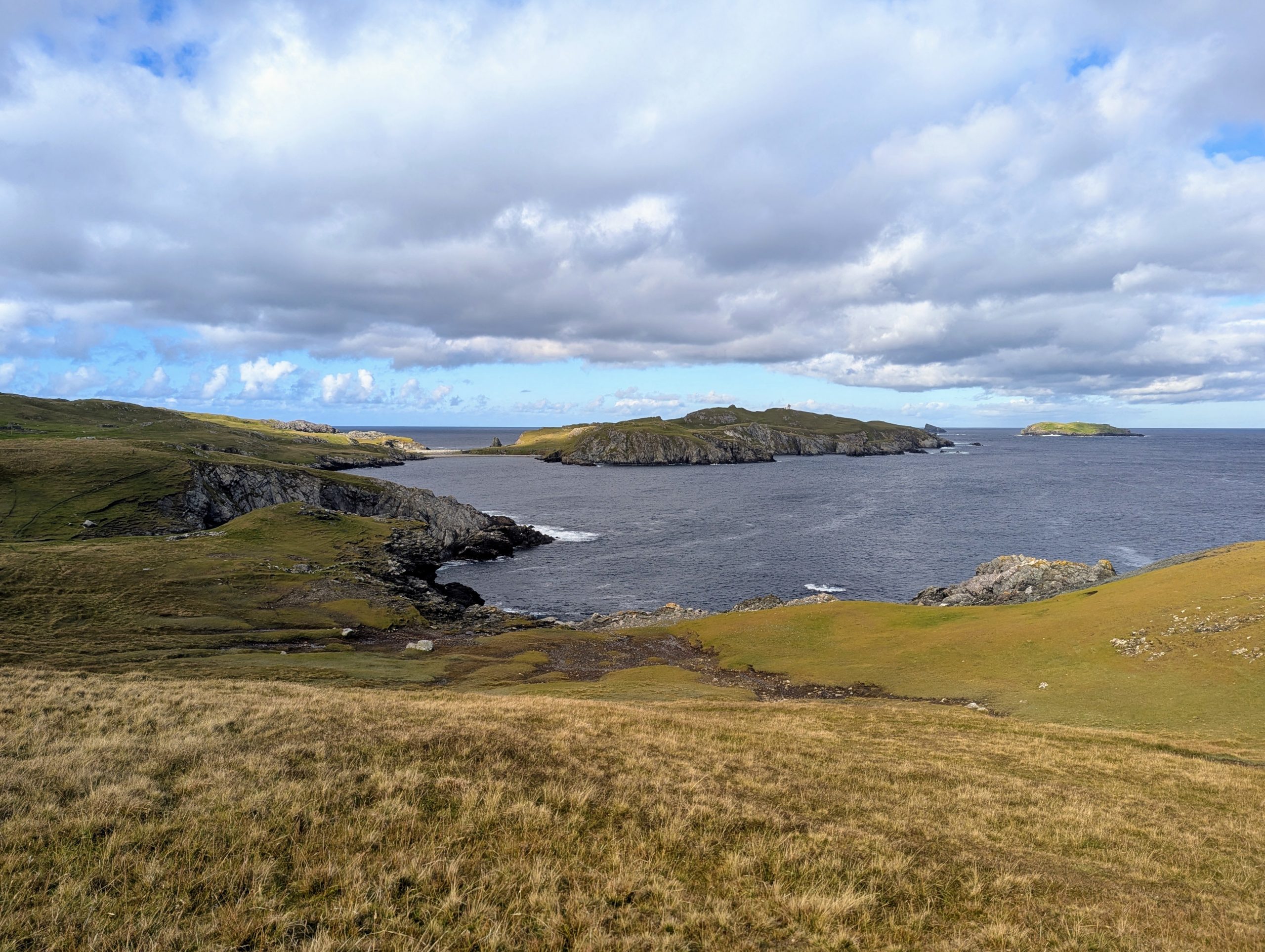
Eventually as you reach the Wick of Breibister the automatic lighthouse comes into view. Along this section is a small, rocky bay below where we counted at least twelve seals; some in the water but most hauled out onto the rocks.
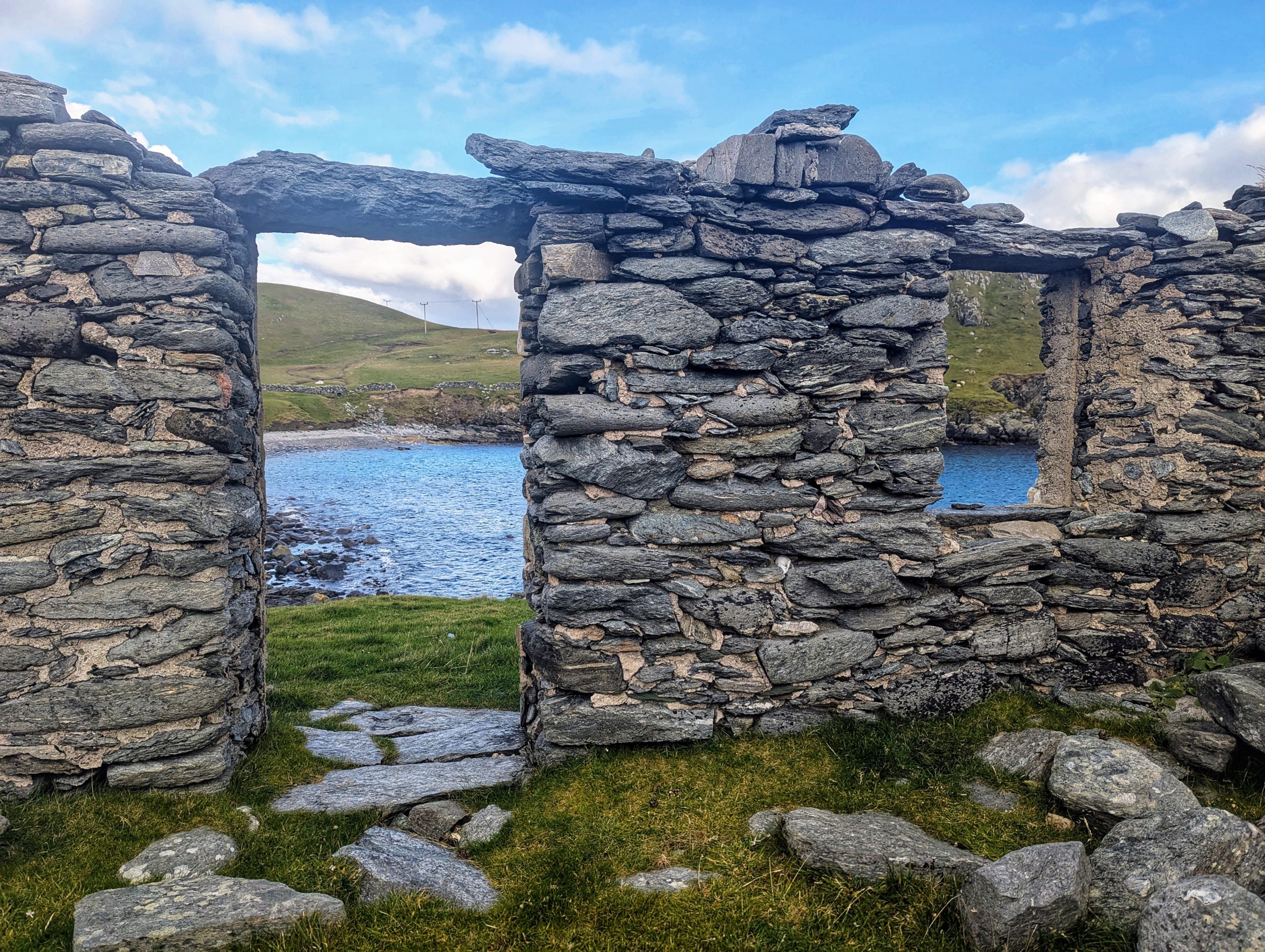
We stopped at the abandoned settlement for something to eat and to enjoy the solitude for a while. The settlement is what remains of a haaf. This haaf (deep-sea) fishing station was at one time the busiest in Shetland with around 60 boats operating from here. The workers stayed in lodges, which survive today. These huts were drystone with roofs of wood and turf that were removed at the end of each season to protect them from damage by winter storms. The fish were split open and dried on the pebble beach before being exported to market. From the 17th century herring was also brought ashore and salted. Fishing from open boats stopped at the end of the nineteenth century, a combination of the introduction of bigger, decked boats with steam engines and a series of fishing disasters that led to the deaths of many boat crews. The Gloup disaster was one that affected Fethaland.
It is now a peaceful and beautiful relic of a bygone way of life.
We had intended to continue onto the peninsula to the lighthouse but the glorious weather was turning rapidly and so we turned back on the track just west of the cliff path. This is a rough, stony ‘road’ that leads straight back to the croft at Isbister where we’d parked. We’d intended to follow a path around, and west, of the Upper Loch of Setter, which would have been a more satisfying route, but the weather had turned and so we chose to stay on the direct track.
This was a fabulous walk (apart from the last couple of miles!) and thoroughly recommended.
Download file for GPS